More Snow Headed To The Berkshires
Before this weekend's sunny but frigid weather, I think The Berkshires saw six straight days of snowfall. It wasn't like huge plowable snow, but just annoying enough (that's subjective, I know), that you had to shovel your driveway and/or walkway every day.
Well, the snow's back.
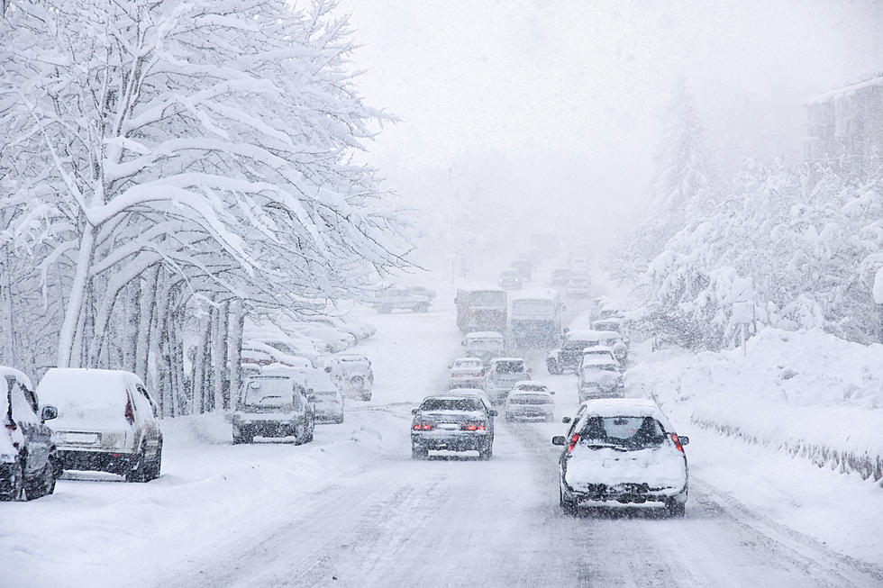
There is a winter storm moving from West to East across the country that could bring anywhere from 2-6 inches of snow before all is said and done Wednesday morning.
The Weather Channel's forecast for Berkshire County calls for the following:
Tuesday:
Cloudy with snow developing during the afternoon. High 28F. Winds ESE at 5 to 10 mph. Chance of snow 80%. 1 to 3 inches of snow expected.
Tuesday night:
Light snow in the evening will give way to snow showers overnight. Low around 25F. Winds ESE at 5 to 10 mph. Chance of snow 70%. 1 to 3 inches of snow expected.
Wednesday:
Variably cloudy with snow showers. High 33F. Winds light and variable. Chance of snow 50%. Snow accumulations less than one inch.
Snowfall totals may amount a bit more for North County.
Snow is expected to fall anytime tomorrow (Tuesday) afternoon.
How much snow has to fall before you opt-out of shoveling and fire up the snowblower?
For snow haters, the weather channel's forecast for February calls for above average temperatures for the Northeast section of the country.
The illustration below is taken from Greylock Snowday.

The 100 Best Places to Live on the East Coast
More From WBEC FM


