Latest Weekend Storm Update For Massachusetts: Snow Vs Wind
Winter is a fact of life here in Massachusetts. Now that it is a new year we're already starting to think about Summer. But, we're not there yet. First we'll talk about what we had for farmer's almanac predictions, and they we'll take a look at the latest update for this weekend.
So, what do we expect this year for winter in Massachusetts?


According to the farmer's almanac the coldest months predicted are January which will be particularly stormy, snowy and wet, with the potential for lots of rain and sleet. An East Coast storm is also expected to bring heavy snowfall, cold rain and frigid temperatures during the second week of February.
Meanwhile, The almanac also said that March “could go out like a lion” with an extended forecast calling for “wild swings in the thermometer along with East Coast storm will bring a wintry mess to the area during the first week of the month.
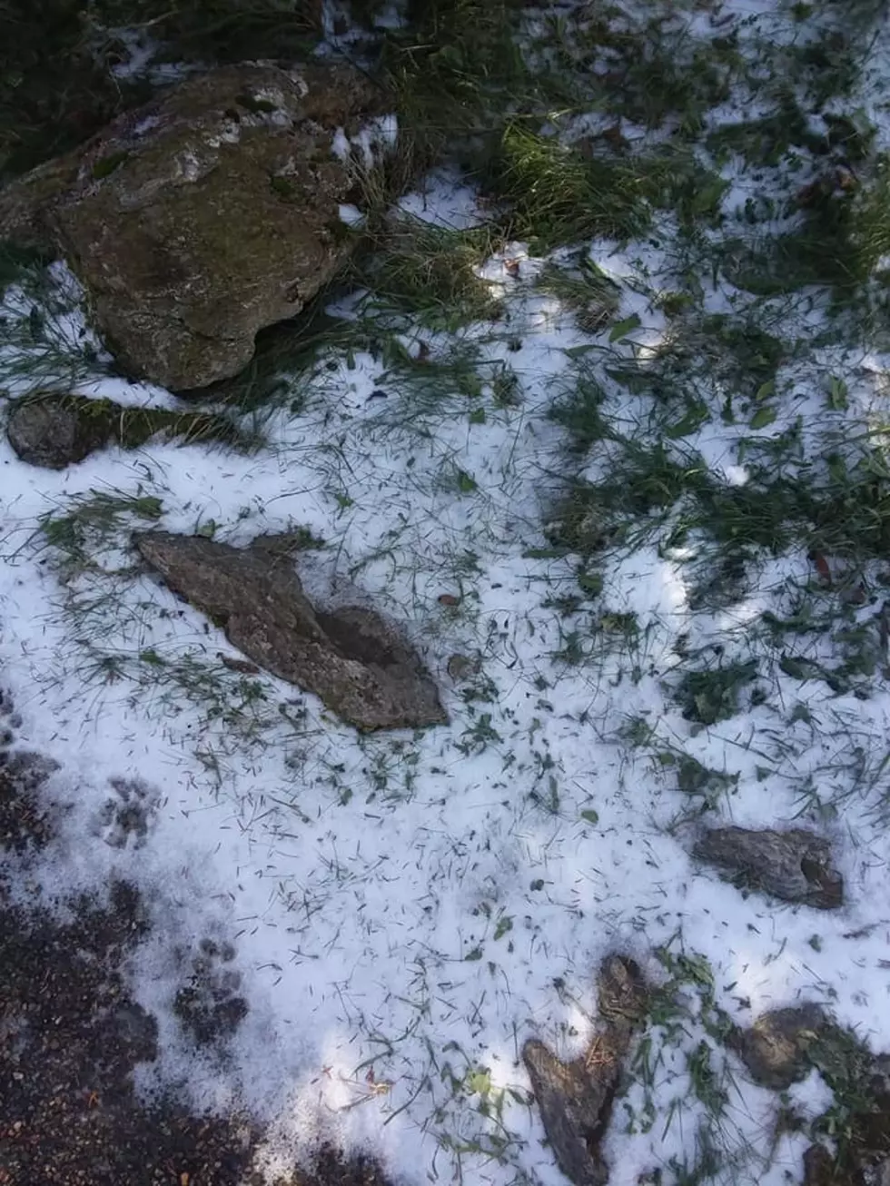
Here's a photo I snapped 4 years ago today of the first snowfall on Mount Greylock:
Of course, forecasts predicted this early are not 100% accurate but we do get ideas on what to expect this winter. After all, it's never too early to prepare. That reminds me, I got to pull out the snow shovels from the basement in a couple months
I remember one Christmas when it was 70 degrees out and everyone was driving around with their windows open. So, we shall see what mother nature has in store for us this winter here in the commonwealth of Massachusetts. We have to expect the unexpected each year.
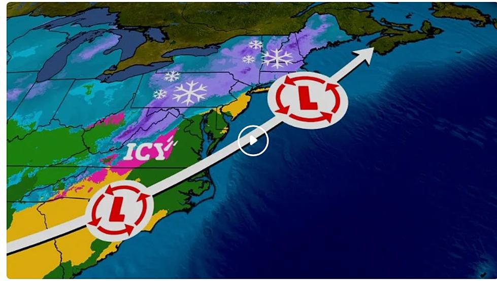
BELOW IS AN UPDATE FROM THE NATIONAL WEATHER SERVICE AS OF 1/5/2024:
Action Recommended
Issued By
Affected Area
Description
We also have you covered with Winter Watch!
How much snow do you think we'll get this year? Let us know on our station app.
You Need To Keep These Reliable Winter Essentials In Your Car
Gallery Credit: Canva
The Real Essential Items You Need During a Snowstorm
Gallery Credit: Barry Richard
More From WBEC FM